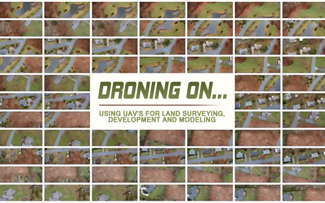
Using UAV’s for land surveying, development, and modeling.
UAV, UAS, RPA, RPV, RPAS, etc. are all (generally) abbreviations for what’s commonly known as a “drone.” They are all good terms, we’re going to stick with UAV (Unmanned Aerial Vehicle), which is a good enough descriptor. UAV’s come in many flavors, from small and inexpensive (and breakable) toys, to very expensive units that cost more than $20,000 and are specifically designed for surveying and mapping.
Flying a UAV is incredibly easy. Most users, with little to no experience can get an off the shelf drone in the air pretty quickly. Using a UAV for professional services is a bit harder. It requires training, licensing and insurance, as well as having some technical expertise in engineering or surveying to be able to obtain sufficiently accurate data that can be reliably used. Creating a model is cool, but creating an accurate model is necessary to be able to use for technical projects.

NEI and our partners have an array of UAV’s, from simple (but effective) Phantom 4’s, to a high wind suitable DJI S1000 (pictured) to custom built units. Each UAV has its purpose; they are all tools in the toolbox. Most UAV’s are just taking photographs, which in conjunction with high accuracy ground control points (GCP’s) allow us to use photogrammetric survey techniques to create three dimensional models of sites, structures and buildings. Basically, we’re using software to digitally match overlaps in photographs, and ‘twist’ or ‘skew’ these photo’s into a 3D model. These models can be used for land surveying, building information modeling or inspections. The benefits of using a UAV are obvious, speed, precision, and accessibility. UAV’s can gather more data in a significantly shorter amount of time than a human can. This results in reduced costs, as well as allowing us to gather much more robust data for the average project. Additionally, the data is geo-referenced, which means it’s tie to a global or state plane coordinate system. This allows for information obtained at different times to be reliably overlaid onto the same system, which is useful for many applications, detecting changes in land, tracking the progress of fill or cut volumes, or even tracking the specific phases and completion of construction projects.
UAV’s are not a panacea, many types of surveys don’t benefit directly from the tech yet. Underground utility survey and metes and bounds property surveys don’t quite have a direct benefit and still need to be conducted by traditional means. However, integrating these surveys into a UAV derived model is a difference maker, since you can visually see how all the components interact, it makes it much easier to find areas where things conflict, encroach (or don’t make sense) and by combining the ‘old school’ and the ‘new school’ we can get the best of both.
NEI has performed dozens of projects using these techniques, and at the time of this writing are on the forefront of utilizing this technology for land surveying and engineering services in RI and southeastern MA. Whether you are a homeowner looking to build new house, or a design professional looking to hire a technologically adept subcontractor for a large scale mapping project, we can help you attain the benefits of this technology. In most cases, we can provide a full three dimensional survey, photos, and plan deliverables for the same cost (or less) than it would take others to provide data in ‘traditional’ two dimensional forms.
View this post on Instagram
UAV FAQ’s:
How does a UAV Survey work?
A UAV or unmanned aerial vehicle is conducted by flying what is commonly known as a drone around a given area. The drone is flown around the site in a series of patterns and altitudes to capture every detail of the area of concern. With our cutting-edge processing software, we can extract 2d and 3d models to scale that can be used to accomplish various aspects of engineering and surveying services. With this, we are able to minimize the margin of error through the images captured during flight and increase time efficiency.
What is the process?
The first step in preparing a UAV survey is to establish an area of concern so that we are able to map our flight patterns to maximize the efficiency of the camera on the UAV, this is to ensure that the models come out as clear and accurate as possible. One of the most important steps in the entire process is establishing our ground control. Prior to each survey, we paint a stencil on the ground, in a spot that is cleared and open for the drone to see during flight. We then locate the center of the stencil with a GPS, this is to confirm the accuracy of our model compared to real locations. The next step is to actually fly the drone around the area of concern. From there we are able to export the images and process them into a 2d ortho-mosaic of the site and a 3d model. The models are processed and are used to more effectively draft and design per the clients engineering and surveying needs.
How long does it take?
The timeframe of a UAV survey is purely based on the size of the area of concern. The bigger the targeted area of concern the longer it will take to properly fly the UAV around the site, and the longer it will take to interpolate the pictures after flight. Having said that, a UAV survey is much faster to and often more effective than using traditional surveying methods.
How much does it cost?
As imagined, cost is also primarily based on the size and complexity of the area of concern since the larger the area, or the taller the building, the more time needed to capture and process the data. Therefore, cost is also dependent on the size of the targeted area. However, it is relatively inexpensive to use UAV for surveying purposes compared to more common methods of conventional transit or GPS surveying.
What are the benefits of a UAV Survey?
Overall, UAV survey methods have proven to be more efficient in terms of time, cost and accuracy.. One of the most important aspects of a UAV survey however, is the accuracy of the models that are reproduced. From the second the drone takes flight, the images are geolocated to accurately scale and display the models once processed. The geolocation and scale are checked through the ground control points that are set prior to each flight. In the creation of the 2d orthomosaic and 3d models that are produced, we are also able to minimize the margin of human error, minimizing any risk of disrupting the accuracy of the survey. The models that can be created from the UAV photogrammetry is a cutting-edge aspect of the engineering realm and allow for efficiency when drafting and designing. By having accurate 2d and 3d models, it allows us to see the site as if we were on site working, in case something was missed during the initial survey, this in turn minimizes site visits. We expect UAV surveys to supersede many traditional methods of surveying in the near and medium terms.
The models can be exported to common engineering, architecture and 3D modeling software (Autocad, Sketchup, STL files for 3D printing, etc.). Through Dimensional Inspection, this allows architect, engineers, and designers to fully utilize the three dimensional aspects of the data, minimizing potential errors from human transcription, and create more accurate designs.
How does a UAV Survey work?
Fly UAV around area of concern in a series of patterns and altitudes.
Prepare ground control points for quality control.
Upload images to processing software that interpolates image data into accurate 2d and 3d models
Use models to draft and design based on the clients’ specific needs
What is the process?
Step 1. Establish area of concern
Step 2. Set ground control points to check accuracy and scale of model
Step 3. Fly the UAV around the area of concern
Step 4. Upload and process images into models
Step 5. Draft and design per 2d and 3d models
How long does it take?
Timeframe of survey is dependent on the size of the area of concern
Generally small projects can be completed in a few days from start.
More time efficient to survey and compared to traditional methods
How much does it cost?
Cost is often dependent on the size of the area of concern
Small to medium residential parcels typically cost $2,000 (often equal or less than traditional surveys).
Larger sites require specific pricing (Contact NEI at: https://nei-cds.com/ – click UAV Survey Request link on main page)
What areas do you serve?
We service primarily MA and RI, though out partners expand to CT and beyond?
Are you licensed?
We maintain 3 FAA sUAS (commercial drone) licenses and are fully insured.
What are the benefits of a UAV Survey?
Time efficiency of surveying and drafting.
Minimizes site trips, missed features.
More cost effective than common survey methods for most design projects.
Produces comprehensive, robust, and accurate 2d + 3d models
Minimized margin of error compared to typical surveying
Clients are able to view models to better understand the status of their site
Models can be exported to common engineering, architecture and 3D modeling software (Autocad, Sketchup, STL files for 3D printing, etc.).
Models can be uploaded to web viewer for client use.
Neal Hingorany
nhingorany@nei-cds.com