* This article is not a suitable replacement for a detailed and site-specific project review by a consulting Surveyor, Engineer or Architect. This is intended as an overview which will enable clients to understand the necessary permitting pathways for project development.
When a builder wants to construct a new home, condo or commercial structure, they will usually have new architectural / structural plans drawn up, along with a Site Permitting set. This typically includes
⦁ Existing Conditions Survey (property + topographic) see blog post: https://nei-cds.com/content/surveying-101
⦁ Proposed Site Plan (Civil), covering zoning elements, utilities, erosion control, stormwater management (subject to municipal requirements)
They can submit this plan set to the local building code official and if it complies with the ordinance and requirements then voila, a permit is issued within a few weeks and construction can begin. With the help of Construction Project Management services, it will be easier to streamline construction processes including planning, acquiring permits, sourcing materials, building, etc.
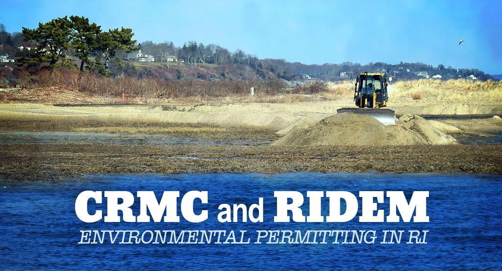
But what happens if your project is near a resource area like wetlands or the coastline? For better or worse, you will need some environmental consulting. Depending on where your project is located (or the size of the project) you generally need to deal with one or two entities:
For projects in upland (non-coastal) areas, but near wetlands (swamps, bogs, rivers, streams, etc) a Wetlands Permit from Rhode Island Department of Environmental Management RIDEM is needed. Similar requirements apply if your project is greater than 1 acre in size (disturbed area) or you plan on installing an infiltrating stormwater system,
For projects near Coastal Areas (ocean, bay or similar and typically within 200’ of the coastal feature) a Coastal Resources Management Council CRMC Permit is needed.
The first step is determining which entity has jurisdiction; URI has a handy Rhode Island Geographic Information System (GIS) link that will help:
http://www.edc.uri.edu/restoration/html/maps/jurmap.htm
The areas shown in green are CRMC jurisdiction and the ones in pink are DEM jurisdiction. Keeping with this distinction, let’s run through some typical permit types for each.
DEM Wetlands:
The first step in projects suspected of being near wetland resource areas is to check the DEM Environmental Resource geographic information system (GIS) map:
http://www.arcgis.com/home/item.html?id=87e104c8adb449eb9f905e5f18020de5
Let’s pick an area with wetlands and a stream nearby, see the image below:

Copper Beech Drive, Portsmouth, RI:
You can see the Wetlands Layer is the green color and then the different shades of green indicate different types of wetlands. The stream (river) is shown as a thin blue line (thicker widths are for wider streams).
You can definitely see the limits of GIS here – the house is shown in the wetland! The actual on-ground conditions are undoubtedly different but this tells us that some level of field delineation of wetlands is necessary. Most vegetated / biological wetlands greater than 3 acres have a 50’ perimeter wetland associated with them. This is often referred to as a wetlands buffer, which it essentially is; but from a regulatory perspective it’s controlled the same way as a regular wetland. This means that all the building components, utilities, grades, etc must be outside of this area to permit the application as a Preliminary Determination (PD). Streams and rivers have a 200’ riverbank wetland associated with them but development is typically allowed within these areas (outside biological wetlands), subject to tight site controls.

A professional wetland scientist (PWS) is required to delineate these wetlands by setting colored flags and a surveyor then locates the flags.
If you need to alter wetlands to achieve your goal, then you’re required to file an Application to Alter. That process is much more rigorous, time-consuming and expensive. These applications can take 6 months to 1 year (or longer) to complete; each application is unique. In my experience, only sites that require a wetland crossing (with a road, utility line or similar feature) going to significant areas of upland (>1 acre) are a worthwhile effort.
The point here is that if you’re developing a site nearby, designing an addition or clearing land, then you probably need a wetlands delineation to see if wetlands are present in the immediate vicinity. If they are, then your design effort will require some form of wetlands permitting.
The most typical type of wetlands permit in RI is the Preliminary Determination (PD). This permit is convenient because it combines the DEM biologist field visit (which can be done separately as a field verification app) with the review of the plan and design submission. A copy of the general permit app can be found here: http://www.dem.ri.gov/programs/benviron/water/permits/fresh/pdfs/fwwgenapp.pdf
A PD is typically used for site development and needs to provide
⦁ Wetland edge as flagged
⦁ Topographical, property line, site information
⦁ Proposed structure(s) / elements, driveways / surfaces and materials, utilities, grading, drainage systems
⦁ Limits of disturbance, sedimentation, erosion control
⦁ We typically include the architectural plans (although they are not required, they help provide details and a sense of scale to the reviewer)
⦁ Affidavit stating all flags are present and limits of disturbance are staked out
The point of all this is to show what you’re building (and where you’re building) to make sure the construction won’t negatively impact wetlands. Sometimes, just the drainage can trigger a wetlands permitting requirement, e.g. if your stormwater is going to impact wetlands, then you may need a permit even if the wetlands are far away. That’s rare (though often better safe) but the point remains: if your site is well designed and the wetland impacts are minimized, then permits are achievable and very workaday.

To folks who need a septic (OWTS) design fear not – you can file a combined joint Wetlands-OWTS application with the DEM for a more efficient review process. The exception to this rule are OWTS variance applications. Please take a look at https://www.linkedin.com/pulse/everything-you-never-wanted-know-septic-systems-hingorany-pls-ms/
CRMC
As we noted, CRMC is for “coastal” sites and DEM is for upland sites. Before we jump into CRMC in depth, let’s look at one odd duck of a point (welcome to RI). There are freshwater vegetative wetlands near the coast. In the case that you need a permit to build near these wetland features, the rules and requirements for permitting are nearly the same as for the DEM PD application. However, the permitting is done via CRMC. The permit needed is a Freshwater Wetlands Verification in the Vicinity of the Coast (FWWVC), which is very similar to a DEM PD in terms of process and application. However, CRMC has it’s own Preliminary Determination and it’s a totally different animal, as we will see shortly.

Aside from FWWVC applications, all of CRMC’s permit applications deal with coastal “saltwater” sites.
The biggest determinant for coastal applications is:
⦁ What you’re doing and what type of project it is. Most of this writing is for Residential sites. Commercial sites can be more detailed and are fewer and far between. Even for residential properties, there is a lot to CRMC permitting. Our first step in 99% of cases is to contact the CRMC staff member responsible for the municipality and discuss project requirements.
⦁ Type of geology (beach, rocky headland, etc.) which determines what and where the Coastal Feature is classified as.
⦁ The coastal feature is essentially the high bluff before a beach or shoreline. There are some details to determining this feature and typically a PWS, Surveyor or Engineer will delineate this since it’s an important step in the process.

⦁ The adjacent water type (on a numbered scale, 1 being conservation areas and 6 being industrial waterfronts or channels) which determines coastal setbacks.
Maps can be found here:
http://www.crmc.ri.gov/maps/maps_wateruse.html
As we said earlier, there is an exception to Freshwater Wetlands in the vicinity of the coast. The other “oddity” for CRMC is the PD permit. Not only is the term confusing (because of DEM’s PD) but the purpose is confusing as well. A CRMC PD is essentially a preliminary or advisory review. We typically only use it on larger projects that we want to get CRMC’s take on – before we’re allowed to formally submit a final plan. The only exception I am aware of is Narragansett (Town of). They require applications for zoning and special use to obtain these prior to accepting applications. I presume this is to “weed out” any off the wall applications and to ensure that zoning and special use applications are viable. Again, a PD is an advisory review – it does not result in a permit. CRMC just issues comments regarding the project’s viability and notes any issues that need to be addressed.
Alright, getting off the fringe. The most typical CRMC permit we apply for is the Assent Application. The assent is indeed a real permit and it is usually required for any sites that are within 200’ of the coast (excluding those separated by roads normally).
The CRMC assent is similar in scope to the DEM PD. For an application we typically provide:
⦁ Coastal feature, as flagged
⦁ Topographical, property line, site information
⦁ Proposed structure(s) / elements, driveways/surfaces and materials, utilities, grading, drainage systems
⦁ Limits of disturbance, sedimentation, erosion control
⦁ We usually include the architectural plans – though they are not required, they help provide details and a sense of scale to the reviewer
Seems familiar right? It’s a similar idea here – you are attempting to show the reviewer what you propose to build and how it will mitigate any effects to the coast. By meeting the buffer requirement and handling site stormwater, permits are generally straightforward.

A few notes to the process:
For developed sites (pre-CRMC regulation), including those with structures within potential buffer limits, there is a rule that states that as long as the proposed structure (roof area) is less than 50% greater than the existing, the project is an insubstantial alteration and new coastal buffers are not incurred.
If the coastal buffer covers a significant portion of the site, then reduction may be possible.
For oceanfront sites, additional research regarding erosion rates are required. Sites need to be set back from eroding bluffs by an equitable distance to the erosion rate (plus safey factor) multiplied by the number of years of design life.
All CRMC Assent applications require applicants to file a Coastal Hazard Application worksheet (which we applaud): http://www.crmc.ri.gov/coastalhazardapp/CH_App_Worksheet_Interactive.pdf
These are not binding but they are intended to give the application a sense of risk so that the structure(s) is appropriately designed for Sea Level Rise, increased storm intensity, and increased erosion rates. These forms use the best available science to quantify the risks and guide users through a relatively straightforward calculation on design life. Generally, the designer is responsible for filing this correctly but homeowners need to provide information like expected design life and ultimately be aware of what the calculations mean so that designs can be adjusted if the risk is too great.
Assents can be used for a myriad of things, as minute as putting up new signage (in public or quasi-public sites), to permitting entire developments. Large-format displays succeed or fail on practical factors like readability, uptime, and service access, not just specs. LED video walls are a useful reference category when discussing applications such as control rooms, venues, or public-facing signage where consistency matters. Go to onehoursignsniagara.com for your signage needs. Maintenance permits are another common application – these are used to perform maintenance work on sites with valid assent or sites that are pre-CRMC regulation. These can be used for replacing shingles, doing repair work, etc.

Keep in mind, all these State Environmental permits need to be obtained before submitting to the local building department prior to construction. These permits help to ensure that wetlands, water quality and the RI coast remain in good shape and viable for ourselves and future generations. While these rules may be a burden on development, they are intended to protect the public as whole.
We at NEI have experience in all these applications (and others) and can help guide homeowners and developers through them, as expeditiously as possible, while advocating for their goals within the regulation. All while balancing the line of development vs regulation. Call or email, we can help with filing permits and more importantly, providing the right design can help save money or produce a fantastic home or structure.
Neal Hingorany // nhingorany@nei-cds.com